Distance and Area Measurement
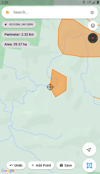
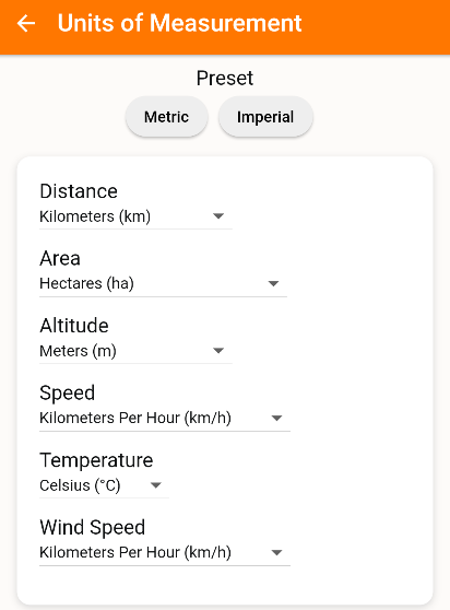
Easily measure distances and areas using the Ember Map application. Customize your measurement units via Settings > Units of Measurement.
Distance Rings
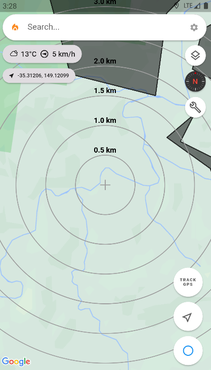
Utilize Distance Rings for rapid distance measurement from a specific point. This is particularly useful for quick distance estimations between two points like an asset and a fire front, aiding in prompt time-to-impact assessments.
Activate Distance Rings by double-clicking the Measure Tools Button.
Perimeter Measurement
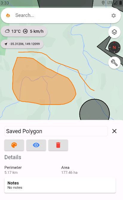
For obtaining the perimeter of a saved polyline or polygon:
- Click on the desired object on the map.
- The perimeter will be displayed in the information panel.
To measure a line's perimeter:
- Click the Measure Tools button to engage the Map Object Drawing mode.
- Draw a line using your finger, and the perimeter will appear at the top of the canvas.
- For enhanced precision, click the precision target button to enter the precision drawing mode, enabling accurate placement of each line point.
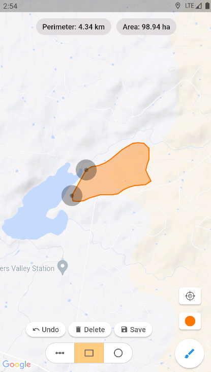
Area Measurement
For saved polygon or circle area measurements:
- Click on the respective object on the map.
- The area will be displayed in the information panel.
For new polygon or circle area measurements:
- Click the Measure Tools button to enter Map Object Drawing mode.
- Select the polygon or circle button, then draw your shape on the map.
- The area and perimeter will be displayed at the top of the screen.
- For meticulous control, click the precision target button to draw your polygon with utmost accuracy.
