GeoPDF Support (My Maps)
Ember Map supports the import and display of GeoPDF files, enriching your mapping experience. GeoPDFs are not your ordinary PDF maps; they come with embedded geospatial metadata which enables Ember Map to render them accurately. Note that regular PDF maps lacking this geospatial metadata will not be displayed.
With GeoPDF files, you gain the advantage of viewing maps offline, eliminating the need for an internet connection.
Here are some common GeoPDF sources:
Importing a GeoPDF File
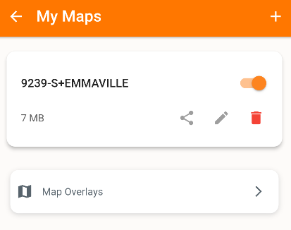
- Navigate to
Settings > My Maps. - Click on the plus icon to initiate the addition of a GeoPDF file.
- Browse and select the desired GeoPDF file. Upon selection, the file will undergo processing.
- Once processed successfully, your map is set and ready for display.

Viewing a GeoPDF File
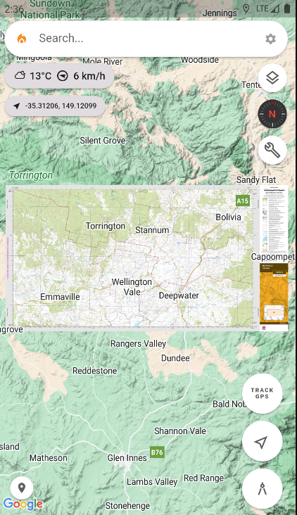
- Under the My Maps section, click on the title of the map. This action will redirect you to the map screen, where your map is loaded and adjusted to fit the screen optimally.
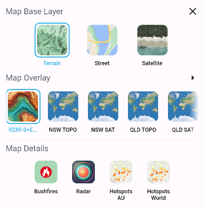
- Alternatively, maps can be made selectable through the Layers menu:
- Within the My Maps section, toggle the visibility switch to add the map to the Layers menu on the Map Screen.
- Now, move to the Layers menu located on the map screen, and under the Map Overlays pane, you can choose your map. GeoPDF files are represented with a distinct icon, differentiating them from online Map Overlay tile services.


Disclaimer: Be patient with large map files, as there could be a short delay before they materialize on the map due to processing time.