Firefighting Tools
Ember Map is equipped with an array of integrated firefighting tools designed to assist you on the fireground.
To utilize these tools, ensure they are activated by navigating to Settings > Map Settings and verifying that Show Firefighting Tools is enabled.
On the map screen, tools can be accessed by tapping the wrench icon and selecting the desired tool from the list.
Fire Behaviour Models Calculator
This tool integrates the latest models utilized in the Australian Fire Danger Rating System. Although these models are more precise, they may require additional inputs to extract valuable information.
Forest Fire Danger Index Calculator
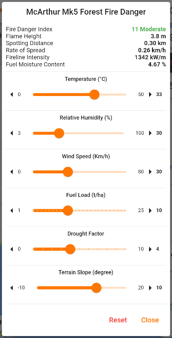
Employing the McArthur Mk5 Forest Fire Danger Index calculation, this calculator furnishes a danger rating alongside predictions for flame height, spotting distance, rate of spread, intensity, and fuel moisture content.
Adjustments to the input values can be made using sliders.
For more insights on this model, visit the CSIRO website.

Grass Fire Danger Index Calculator
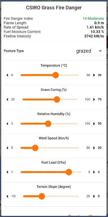
Utilizing the CSIRO Grass Fire Danger Index formula, this calculator delivers a danger rating, flame length, rate of spread, intensity, and fuel moisture content.
Select the pasture type from the options: grazed, eaten out, or natural.
Data for the index should be gathered from the fireground using a Kestrel device, empowering incident commanders with predictive analytics for informed decision-making.

Lightning Map
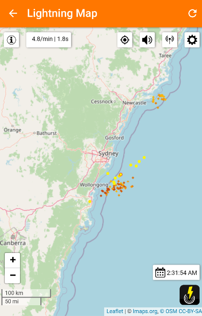
The Lightning Map showcases real-time detection of lightning strikes, which when used in tandem with satellite hotspots, aids in identifying potential ignition points stemming from lightning strikes.
